Lake Ontario January Sea Duck Survey
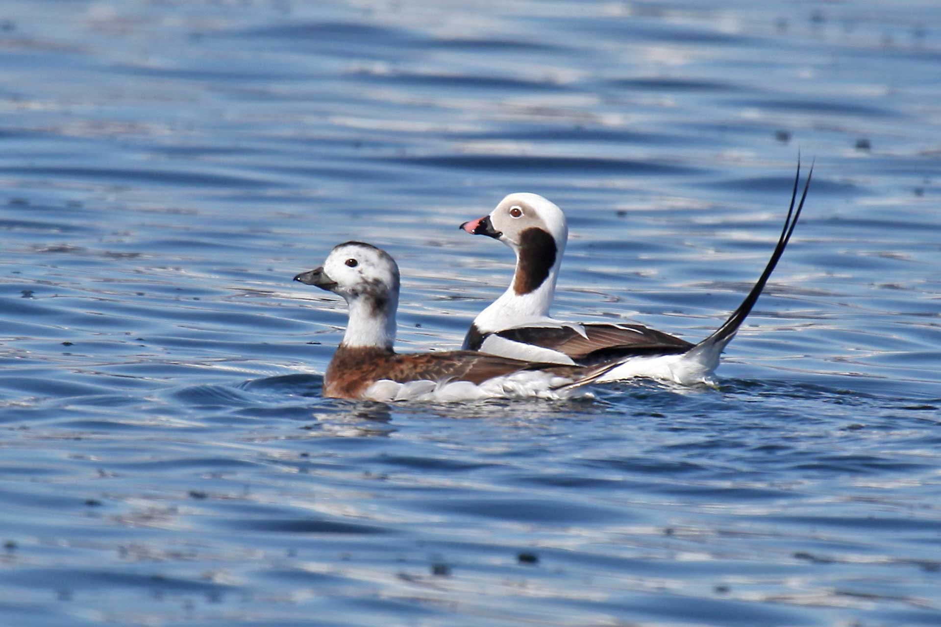
Project Number: 95
Year Funded: 2008
Lead Institution(s): Long Point Waterfowl and Wetlands Research Fund
Project Lead: Shannon Badzinski
Collaborator(s): Scott Petrie (LPWWRF), Ken Ross (CWS), Norm North (CWS)
Location: Ontario
Focal Species: All Sea Ducks, Bufflehead (Bucephala albeola), Barrow’s Goldeneye (Bucephala islandica), Common Goldeneye (Bucephala clangula), Harlequin Duck (Histrionicus histrionicus), Long-tailed Duck (Clangula hyemalis), Common Eider (Somateria mollissima), King Eider (Somateria spectabilis), Spectacled Eider (Somateria fischeri), Steller’s Eider (Polysticta stelleri), Common Merganser (Mergus merganser), Hooded Merganser (Lophodytes cucullatus), Red-breasted Merganser (Mergus serrator), Black Scoter (Melanitta americana), Surf Scoter (Melanitta perspicillata), White-winged Scoter (Melanitta delgandi)
Project Description: The Lake Ontario January Sea Duck Survey (LOJSDS) was formally initiated in early January 2007 to obtain better information on annual abundances and distributions of sea ducks on the Canadian side of Lake Ontario. The LOJSDS is conducted as part of the larger Lower Great Lakes January Survey, which is flown annually (2002-present) by Canadian and US agencies along the shorelines of lakes Ontario, Erie, and St. Clair. This survey is flown during the same time frame as the US Midwinter survey. Focal species for the LOJSDS are Long-tailed Duck (primary), White-winged Scoter, Black Scoter, Surf Scoter, Common Merganser, Red-breasted Merganser, Common Goldeneye, and Bufflehead.
The LOJSDS is an aerial survey that is flown with a twin engine aircraft during early January. Two observers estimate abundances of all waterfowl species observed along each side of two transects out to a distance of 0.5 km from a height of 150 m during the mid-day (10:00 – 15:00 EST) period. The nearshore transect is flown parallel to the shoreline 0.5 km offshore and the offshore transect is flown at distance of 2 km offshore. Both transects are divided into 4 segments based on easily identifiable shoreline features, which provide additional data on geographic distribution of waterfowl. Offshore transects are flown before nearshore transects to minimize double counting large numbers of waterfowl in nearshore areas that might relocate offshore due to aircraft disturbance.
Project Reports: https://seaduckjv.org/pdf/studies/pr95.pdf