Unifying the coast: Advancing image-based surveys to support sea duck conservation along the Pacific Flyway
Project Number: 173
Year Funded: 2024
Lead Institution(s): USGS
Project Lead: Susan De La Cruz
Collaborator(s): Tanya Graham (USGS), Kyle Spragens, Matthew Hamer, Andrew Annanie (WDFW), Josh Adams and Laney White (USGS), Mark Dever, Megan Ross, and Sean Boyd (ECCC)
Location: Pacific Flyway
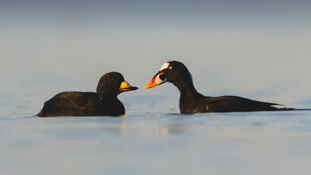
Focal Species: Barrow’s Goldeneye (Bucephala islandica), Harlequin Duck (Histrionicus histrionicus), Long-tailed Duck (Clangula hyemalis), Black Scoter (Melanitta americana), Surf Scoter (Melanitta perspicillata), White-winged Scoter (Melanitta delgandi)
Project Description: For most of their annual cycle, North American sea ducks are densely distributed in estuaries and along the coastal nearshore where they are susceptible oil spills, energy development, changing ocean conditions, and other potential threats. Observer-based aerial surveys have been an important tool for evaluating coastal distributions and estimating population abundances to understand sea duck responses to their changing environment. However, safety, expense, observer bias and lack of methodological consistency are rising concerns associated with observer-based surveys, making it imperative to transition to more sustainable methods. Digital aerial surveys (DAS) that automate counts from aerial imagery using convolutional neural network (CNN) models are one way to improve survey safety and count accuracy. Here we propose to develop a standardized DAS for the lower Pacific Flyway to help maximize safety, while improving data consistency and model accuracy among important regions within the Flyway. To accomplish this goal, we will complete the following objectives: 1) Collect imagery of Pacific Coast sea ducks using standardized digital aerial survey hardware and imagery collection methodology, 2) Retrain an existing Pacific Coast seabird CNN model using an iterative reclassification process to create a sea duck-specific model, and 3) Conduct digital aerial surveys at key sea duck sites in the Pacific Flyway to quantify sea duck abundance and species composition. We will focus our work in two Sea Duck Key Habitat Sites, the Puget Sound and San Francisco Bay, where we can leverage secured funding for observer-based aerial surveys to help develop robust DAS methods that will be transferrable across the Pacific Flyway. Our products will include documented sea duck DAS methodology, an extensive public annotated image library, a CNN model fine-tuned to detect Pacific Flyway sea ducks, and a peer reviewed manuscript documenting survey results and efficacy.
Project Reports: