The Sea Duck Key Habitat Sites Atlas is a comprehensive map identifying key sea duck habitats in North America. It focuses on 85 specific sites spanning from California to Labrador to the Arctic that are critically important for sea ducks during one or more seasons each year.
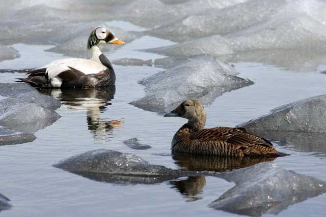
Photo by Ted Swem/USFWS
For each of the 85 sites, detailed site narratives are available that include information about the habitat itself, the sea duck species that use the site and their abundance in the area, and potential threats or sensitivities. Data and shapefiles are also available for each site. Aerial fixed-wing or helicopter survey data allowed us to estimate species abundance across most seasons and sites. When survey data wasn’t available, expert opinion was used to characterize abundance.
In addition, we’ve recently made the Key Sites Habitat Atlas available in ArcGIS Online, allowing users to visualize key sites without the need for mapping software or experience.
Beginning in 2014, sea duck experts serving on the SDJV Continental Technical Team identified potential sites and compiled a comprehensive dataset of seasonal sea duck abundance from surveys completed by the U.S. Fish and Wildlife Service (USFWS), the Canadian Wildlife Service (CWS) and state and provincial agencies, and from tracking data from SDJV-supported telemetry projects.
Strict criteria that included minimum sea duck densities were used to identify areas that are vital to sea ducks at a scale that is meaningful and practical in terms of habitat conservation and protection. Most key sites identified are coastal habitats used during the non-breeding season by high densities of sea ducks at one time. Areas such as the Canadian boreal forest, a huge area with low densities of breeding sea ducks such as scoters, are vitally important to sea duck persistence, but they are so expansive that including them dilutes the focus we hoped to provide by identifying key sites.
 Photo of the Key Sites Atlas on ArcGIS Online
We hope the atlas will lead to heightened awareness of important sea duck habitats for partners, researchers and other sea duck enthusiasts, aiding research and conservation work that prioritizes sea ducks and their habitats.
For more information or to download shapefiles and a PDF of the Atlas, take a look at our webpage: https://seaduckjv.org/science-resources/sea-duck-key-habitat-sites-atlas/
Contact Kate Martin for further information about the project: